Speaker
Topic
| ID | Speaker · Date | Public claim | Rating | Details |
|---|
No claims match these filters.
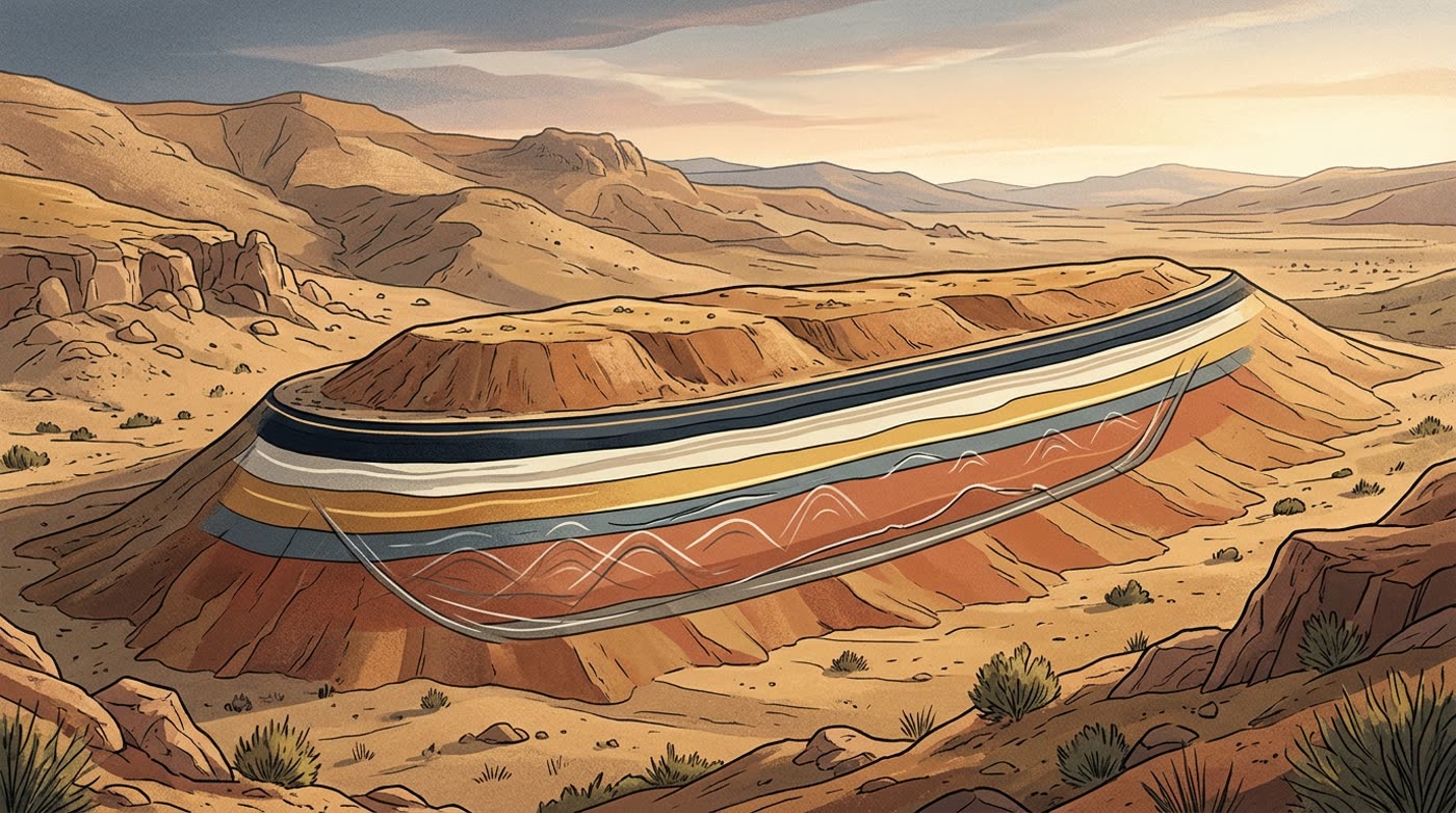
The geological record
Field studies and literature on the formation since its discovery in 1959. Peer-reviewed work and on-site drilling consistently describe a natural landform: a fold, a slumped limestone block, or landslide-shaped bedrock.
How claims are rated
Each rating judges the specific statement as worded, not the overall ark hypothesis. A claim can be “Verified” (for example, wood was sent to a lab) while saying nothing about the ark. Quotes come from the speakers' own posts and press releases or from outlets quoting them; evidence links point to the literature, the partner university, or fact checks. News outlets that repeat a claim are not counted as verification.